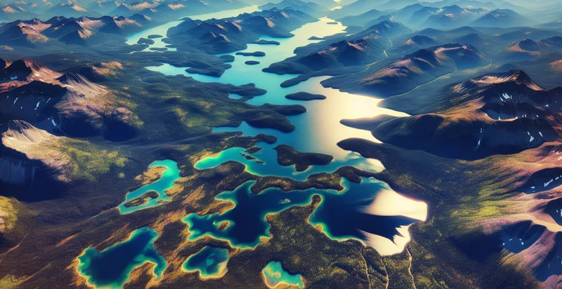
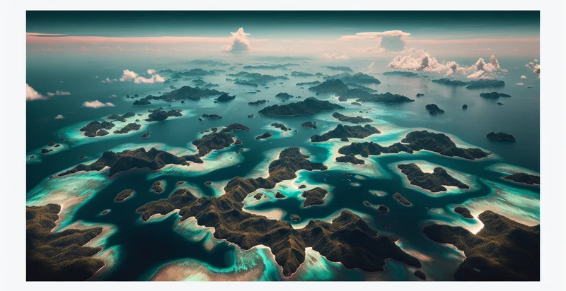
Identify aerial views of lakes
using AI
Below is a free classifier to identify aerial views of lakes. Just upload your image, and our AI will predict if the image contains a lake - in just seconds.

Contact us for API access
Or, use Nyckel to build highly-accurate custom classifiers in just minutes. No PhD required.
Get started
    import nyckel

    credentials = nyckel.Credentials("YOUR_CLIENT_ID", "YOUR_CLIENT_SECRET")
    nyckel.invoke("aerial-views-of-lakes", "your_image_url", credentials)
    fetch('https://www.nyckel.com/v1/functions/aerial-views-of-lakes/invoke', {
        method: 'POST',
        headers: {
            'Authorization': 'Bearer ' + 'YOUR_BEARER_TOKEN',
            'Content-Type': 'application/json',
        },
        body: JSON.stringify(
            {"data": "your_image_url"}
        )
    })
    .then(response => response.json())
    .then(data => console.log(data));
    curl -X POST \
        -H "Content-Type: application/json" \
        -H "Authorization: Bearer YOUR_BEARER_TOKEN" \
        -d '{"data": "your_image_url"}' \
        https://www.nyckel.com/v1/functions/aerial-views-of-lakes/invoke
How this classifier works
To start, upload your image. Our AI tool will then predict if the image contains a lake.
This pretrained image model uses a Nyckel-created dataset and has 2 labels, including Clear Water and Murky Water.
We'll also show a confidence score (the higher the number, the more confident the AI model is around if the image contains a lake).
Whether you're just curious or building aerial views of lakes detection into your application, we hope our classifier proves helpful.
Related Classifiers
Need to identify aerial views of lakes at scale?
Get API or Zapier access to this classifier for free. It's perfect for:
- Environmental Monitoring: This function can be leveraged by environmental organizations to monitor the health of lakes over time. By classifying aerial images, they can analyze changes in water quality, vegetation growth, and the impact of adjacent development.
- Agricultural Planning: Farmers and agricultural planners can use this tool to assess the proximity of lakes to farmland. By understanding these dynamics, they can make informed decisions about irrigation, crop selection, and land use to optimize yields and sustainability.
- Tourism Development: Tourism boards can use the aerial views identifier to identify picturesque lakes that can be developed into recreational areas. By analyzing features and accessibility, they can promote the best spots for tourism investments and marketing campaigns.
- Urban Planning: City planners can deploy this function to classify and monitor lakes within urban landscapes. This data helps in making informed decisions about land use planning, conserving natural resources, and enhancing community green spaces.
- Wildlife Habitat Assessment: Conservationists can utilize this technology to identify lakes as habitats for diverse wildlife. By classifying these environments, they can plan conservation efforts, track species populations, and promote biodiversity.
- Hydrological Studies: Researchers studying water systems can use this classification tool to map and analyze lake distributions within various watersheds. Such data is crucial for understanding hydrological cycles and making predictions related to water resource management.
- Disaster Management: Emergency response teams can use aerial image classifications to identify lakes that may pose flooding risks during heavy rains. This capability enhances preparedness and response strategies for natural disasters, ensuring better safety for affected communities.


