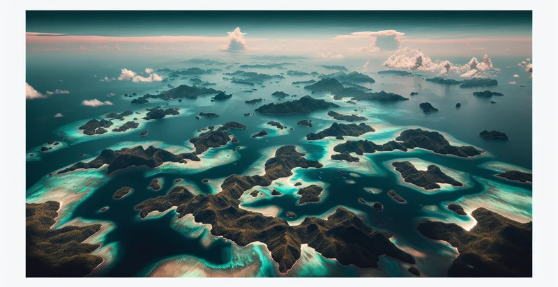
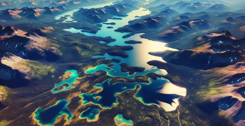
Identify aerial views of islands
using AI
Below is a free classifier to identify aerial views of islands. Just upload your image, and our AI will predict if the image showcases an island or not - in just seconds.

Contact us for API access
Or, use Nyckel to build highly-accurate custom classifiers in just minutes. No PhD required.
Get started
    import nyckel

    credentials = nyckel.Credentials("YOUR_CLIENT_ID", "YOUR_CLIENT_SECRET")
    nyckel.invoke("aerial-views-of-islands", "your_image_url", credentials)
    fetch('https://www.nyckel.com/v1/functions/aerial-views-of-islands/invoke', {
        method: 'POST',
        headers: {
            'Authorization': 'Bearer ' + 'YOUR_BEARER_TOKEN',
            'Content-Type': 'application/json',
        },
        body: JSON.stringify(
            {"data": "your_image_url"}
        )
    })
    .then(response => response.json())
    .then(data => console.log(data));
    curl -X POST \
        -H "Content-Type: application/json" \
        -H "Authorization: Bearer YOUR_BEARER_TOKEN" \
        -d '{"data": "your_image_url"}' \
        https://www.nyckel.com/v1/functions/aerial-views-of-islands/invoke
How this classifier works
To start, upload your image. Our AI tool will then predict if the image showcases an island or not.
This pretrained image model uses a Nyckel-created dataset and has 2 labels, including Remote Islands and Tropical Islands.
We'll also show a confidence score (the higher the number, the more confident the AI model is around if the image showcases an island or not).
Whether you're just curious or building aerial views of islands detection into your application, we hope our classifier proves helpful.
Related Classifiers
Need to identify aerial views of islands at scale?
Get API or Zapier access to this classifier for free. It's perfect for:
- Environmental Monitoring: Utilizing the aerial views of islands identifier, researchers can analyze changes in land use, vegetation cover, and water quality over time. This information is crucial for assessing the health of ecosystems and making informed conservation decisions.
- Tourism Development: Travel agencies and tourism boards can leverage this technology to identify and promote lesser-known islands that have potential for tourism. By analyzing aerial images, they can create targeted marketing strategies and develop customized travel packages.
- Disaster Response Planning: Emergency management organizations can use aerial views to assess damage to islands after natural disasters such as hurricanes or tsunamis. Accurate identification of areas affected can facilitate efficient resource allocation and recovery efforts.
- Real Estate Investment: Real estate developers can analyze aerial images to identify islands with potential for residential or commercial development. By studying geographical features and existing infrastructure, they can make informed investment decisions.
- Marine Conservation Efforts: NGOs focused on marine life protection can use aerial imagery to monitor coral reefs and marine habitats surrounding islands. This data helps in assessing the impact of human activity and in developing conservation strategies to protect vulnerable ecosystems.
- Urban Planning: City planners can utilize aerial views of islands to design sustainable urban layouts for island communities. This insight aids in optimizing land use, transportation networks, and services while considering environmental impacts.
- Agricultural Optimization: Farmers and agricultural organizations can employ aerial imagery to map and analyze arable land on islands. Insights gained can improve crop rotation strategies, irrigation planning, and overall agricultural productivity.


