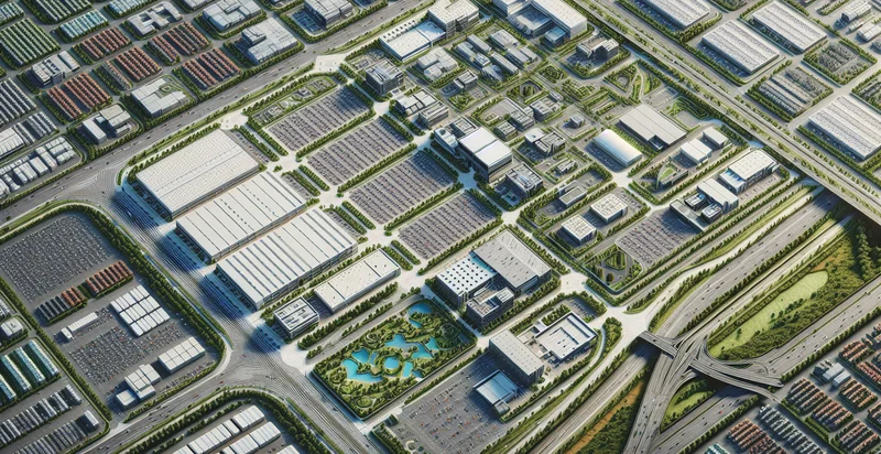
Identify aerial views of industrial parks
using AI
Below is a free classifier to identify aerial views of industrial parks. Just upload your image, and our AI will predict if the location is an industrial park - in just seconds.

Contact us for API access
Or, use Nyckel to build highly-accurate custom classifiers in just minutes. No PhD required.
Get started
    import nyckel

    credentials = nyckel.Credentials("YOUR_CLIENT_ID", "YOUR_CLIENT_SECRET")
    nyckel.invoke("aerial-views-of-industrial-parks", "your_image_url", credentials)
    fetch('https://www.nyckel.com/v1/functions/aerial-views-of-industrial-parks/invoke', {
        method: 'POST',
        headers: {
            'Authorization': 'Bearer ' + 'YOUR_BEARER_TOKEN',
            'Content-Type': 'application/json',
        },
        body: JSON.stringify(
            {"data": "your_image_url"}
        )
    })
    .then(response => response.json())
    .then(data => console.log(data));
    curl -X POST \
        -H "Content-Type: application/json" \
        -H "Authorization: Bearer YOUR_BEARER_TOKEN" \
        -d '{"data": "your_image_url"}' \
        https://www.nyckel.com/v1/functions/aerial-views-of-industrial-parks/invoke
How this classifier works
To start, upload your image. Our AI tool will then predict if the location is an industrial park.
This pretrained image model uses a Nyckel-created dataset and has 2 labels, including Industrial Parks and Non Industrial Parks.
We'll also show a confidence score (the higher the number, the more confident the AI model is around if the location is an industrial park).
Whether you're just curious or building aerial views of industrial parks detection into your application, we hope our classifier proves helpful.
Related Classifiers
Need to identify aerial views of industrial parks at scale?
Get API or Zapier access to this classifier for free. It's perfect for:
- Site Selection Analysis: This use case involves utilizing aerial views of industrial parks to identify optimal locations for new manufacturing or distribution facilities. By analyzing the characteristics of existing parks, businesses can make data-driven decisions about where to expand their operations based on proximity to resources, transportation access, and land availability.
- Urban Development Planning: City planners can leverage aerial image classification to assess currently developed industrial areas and their impact on surrounding communities. This information can inform zoning regulations and help optimize infrastructure development to support future growth.
- Environmental Impact Assessment: Organizations can use identified aerial views of industrial parks to analyze the ecological footprint of existing operations. By categorizing different land uses, companies can pinpoint areas for improvement and develop strategies to reduce their environmental impact.
- Market Trend Analysis: Investors and market analysts can monitor aerial images over time to track growth trends in industrial parks. This data can be used to identify emerging markets and assess the potential return on investment for new ventures.
- Risk Management and Emergency Planning: Aerial views can play a critical role in assessing potential hazards around industrial zones. By identifying the location and layout of various facilities, companies can develop effective risk management and emergency response strategies.
- Asset Management: Businesses can utilize aerial classification to maintain an accurate inventory of their properties and facilities in industrial parks. This systematic approach can help in optimizing resource allocation, maintenance schedules, and facility upgrades.
- Competitive Analysis: Companies can examine aerial views to compare their operations with those of competitors in adjacent industrial parks. This analysis can provide insights into best practices, inefficiencies, and potential areas for differentiation in service and production capabilities.


