Identify aerial views of harbors
using AI
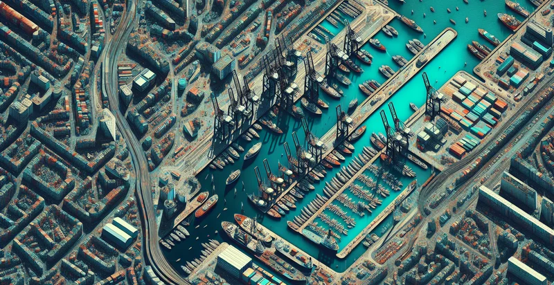
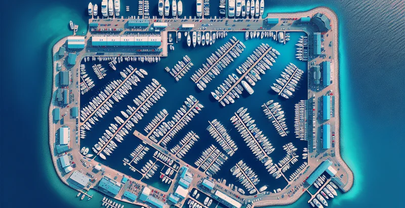
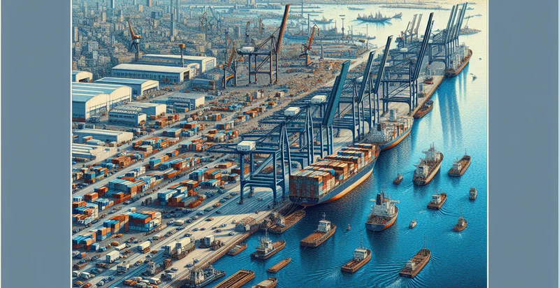
Below is a free classifier to identify aerial views of harbors. Just upload your image, and our AI will predict if the image contains a harbor - in just seconds.

Contact us for API access
Or, use Nyckel to build highly-accurate custom classifiers in just minutes. No PhD required.
Get started
    import nyckel

    credentials = nyckel.Credentials("YOUR_CLIENT_ID", "YOUR_CLIENT_SECRET")
    nyckel.invoke("aerial-views-of-harbors", "your_image_url", credentials)
    fetch('https://www.nyckel.com/v1/functions/aerial-views-of-harbors/invoke', {
        method: 'POST',
        headers: {
            'Authorization': 'Bearer ' + 'YOUR_BEARER_TOKEN',
            'Content-Type': 'application/json',
        },
        body: JSON.stringify(
            {"data": "your_image_url"}
        )
    })
    .then(response => response.json())
    .then(data => console.log(data));
    curl -X POST \
        -H "Content-Type: application/json" \
        -H "Authorization: Bearer YOUR_BEARER_TOKEN" \
        -d '{"data": "your_image_url"}' \
        https://www.nyckel.com/v1/functions/aerial-views-of-harbors/invoke
How this classifier works
To start, upload your image. Our AI tool will then predict if the image contains a harbor.
This pretrained image model uses a Nyckel-created dataset and has 2 labels, including Busy Harbor and Empty Harbor.
We'll also show a confidence score (the higher the number, the more confident the AI model is around if the image contains a harbor).
Whether you're just curious or building aerial views of harbors detection into your application, we hope our classifier proves helpful.
Related Classifiers
Need to identify aerial views of harbors at scale?
Get API or Zapier access to this classifier for free. It's perfect for:
- Port Activity Monitoring: This function can be used to identify and monitor shipping activity in various harbors by analyzing aerial images. Such insights can help logistics companies optimize their shipping routes and schedules based on real-time data.
- Environmental Impact Assessment: Aerial views of harbors can be classified to assess the environmental impacts of port operations. This information could be crucial for regulatory bodies and conservation groups aiming to minimize ecosystem damage.
- Infrastructure Planning: Urban planners and civil engineers can use this image classification to assess the current infrastructure of harbors. By comparing various harbors, they can formulate better strategies for expansion or the development of new port facilities.
- Maritime Security Enhancements: Security agencies can leverage this classification function to identify unusual patterns of activity or monitor for unauthorized vessels in harbor areas. Timely detection can enhance security protocols and response mechanisms.
- Logistics Optimization: Companies involved in supply chain management can utilize classified aerial views to identify optimal docking spots, helping to streamline loading and unloading processes. This leads to significant cost savings and better time management.
- Tourism Development: Identifying harbors through aerial imagery can assist tourism boards in promoting coastal regions. By showcasing the facilities and attractions near harbors, they can strategize marketing efforts to boost local tourism.
- Disaster Response Planning: In emergency management, the classification of harbors can help assess damage in the aftermath of natural disasters. This information is invaluable for prioritizing response efforts and allocating resources effectively in affected areas.


