Identify aerial views of greenhouses
using AI
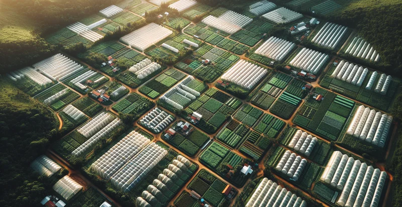
Below is a free classifier to identify aerial views of greenhouses. Just upload your image, and our AI will predict if there are greenhouses present - in just seconds.

Contact us for API access
Or, use Nyckel to build highly-accurate custom classifiers in just minutes. No PhD required.
Get started
    import nyckel

    credentials = nyckel.Credentials("YOUR_CLIENT_ID", "YOUR_CLIENT_SECRET")
    nyckel.invoke("aerial-views-of-greenhouses", "your_image_url", credentials)
    fetch('https://www.nyckel.com/v1/functions/aerial-views-of-greenhouses/invoke', {
        method: 'POST',
        headers: {
            'Authorization': 'Bearer ' + 'YOUR_BEARER_TOKEN',
            'Content-Type': 'application/json',
        },
        body: JSON.stringify(
            {"data": "your_image_url"}
        )
    })
    .then(response => response.json())
    .then(data => console.log(data));
    curl -X POST \
        -H "Content-Type: application/json" \
        -H "Authorization: Bearer YOUR_BEARER_TOKEN" \
        -d '{"data": "your_image_url"}' \
        https://www.nyckel.com/v1/functions/aerial-views-of-greenhouses/invoke
How this classifier works
To start, upload your image. Our AI tool will then predict if there are greenhouses present.
This pretrained image model uses a Nyckel-created dataset and has 2 labels, including Abandoned Greenhouses and Greenhouses With Crops.
We'll also show a confidence score (the higher the number, the more confident the AI model is around if there are greenhouses present).
Whether you're just curious or building aerial views of greenhouses detection into your application, we hope our classifier proves helpful.
Related Classifiers
Need to identify aerial views of greenhouses at scale?
Get API or Zapier access to this classifier for free. It's perfect for:
- Crop Health Monitoring: This function can be utilized to analyze the health of crops within greenhouses by identifying areas of stress or disease from aerial views. By diagnosing issues early, farmers can take preventive measures to optimize yield and reduce waste.
- Resource Management: The aerial views can help in assessing water usage and irrigation patterns within greenhouses. By identifying areas with excess or insufficient moisture, farm managers can allocate resources more efficiently and sustainably.
- Space Optimization: The image classification function can assist in determining the layout and space utilization of greenhouses. This can guide decisions on crop rotation and placement to maximize growth and resource usage.
- Pest and Disease Surveillance: By identifying unusual patterns or anomalies in greenhouse aerial views, this function can help in early detection of pest infestations or disease outbreaks. Timely intervention can significantly reduce crop loss and treatment costs.
- Yield Prediction: Accurately classifying and analyzing aerial images can provide insights into expected crop yields based on current growth conditions. This information can inform supply chain logistics and sales strategies.
- Sustainability Reporting: Organizations can leverage this technology to monitor and report on the environmental impact of their greenhouse operations. By analyzing resource usage and crop health, companies can showcase their sustainability efforts to stakeholders.
- Customization of Growing Conditions: The classification results can help determine the optimal conditions needed for different crops within the same greenhouse. This information can lead to tailored climate control strategies, improving overall productivity and crop quality.


