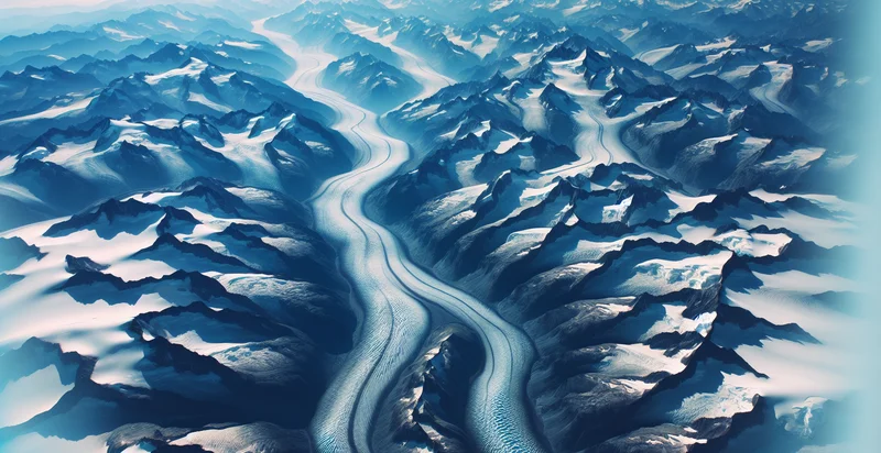
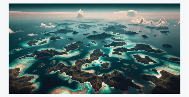
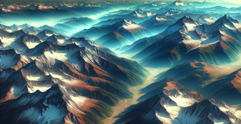
Identify aerial views of glaciers
using AI
Below is a free classifier to identify aerial views of glaciers. Just upload your image, and our AI will predict if the image shows a glacier or not - in just seconds.

Contact us for API access
Or, use Nyckel to build highly-accurate custom classifiers in just minutes. No PhD required.
Get started
    import nyckel

    credentials = nyckel.Credentials("YOUR_CLIENT_ID", "YOUR_CLIENT_SECRET")
    nyckel.invoke("aerial-views-of-glaciers", "your_image_url", credentials)
    fetch('https://www.nyckel.com/v1/functions/aerial-views-of-glaciers/invoke', {
        method: 'POST',
        headers: {
            'Authorization': 'Bearer ' + 'YOUR_BEARER_TOKEN',
            'Content-Type': 'application/json',
        },
        body: JSON.stringify(
            {"data": "your_image_url"}
        )
    })
    .then(response => response.json())
    .then(data => console.log(data));
    curl -X POST \
        -H "Content-Type: application/json" \
        -H "Authorization: Bearer YOUR_BEARER_TOKEN" \
        -d '{"data": "your_image_url"}' \
        https://www.nyckel.com/v1/functions/aerial-views-of-glaciers/invoke
How this classifier works
To start, upload your image. Our AI tool will then predict if the image shows a glacier or not.
This pretrained image model uses a Nyckel-created dataset and has 2 labels, including Glacier Landscape and Non Glacier Landscape.
We'll also show a confidence score (the higher the number, the more confident the AI model is around if the image shows a glacier or not).
Whether you're just curious or building aerial views of glaciers detection into your application, we hope our classifier proves helpful.
Related Classifiers
Need to identify aerial views of glaciers at scale?
Get API or Zapier access to this classifier for free. It's perfect for:
- Environmental Monitoring: This function can assist environmental agencies in monitoring glacier health and movement over time. By identifying aerial views of glaciers, agencies can compile data to assess climate change impacts and track glacial retreat or growth.
- Tourism Planning: Travel companies can utilize the identification of glacier locations to develop targeted marketing campaigns for adventure tourism. By identifying stunning aerial views, they can create captivating travel packages that attract eco-conscious travelers seeking unique experiences.
- Scientific Research: Researchers can apply this function to analyze glacier dynamics and their contribution to sea-level rise. Access to precise aerial imagery with classification capabilities allows scientists to conduct comprehensive studies on glacial behavior and climate interactions.
- Disaster Management: Emergency services can implement this technology to identify glaciers at risk of calving or collapse. By classifying aerial images, they can improve preparedness for natural disasters resulting from glacial instability, thus enhancing community safety.
- Renewable Energy Planning: Energy firms can leverage this classification function to identify potential sites for hydropower projects. By assessing glacier locations through aerial views, companies can plan for water resource management based on melting glaciers.
- Wildlife Conservation: Conservation organizations can use this identifier to study ecosystems surrounding glaciers. Understanding the changes in habitat due to glacial shifts can enhance projects aimed at protecting local wildlife affected by climate change.
- Educational Resources: Educational institutions can incorporate identified aerial views of glaciers into their curricula. By utilizing this data, they can create engaging learning modules on climate science, geography, and environmental stewardship for students.


