Identify aerial views of fields
using AI
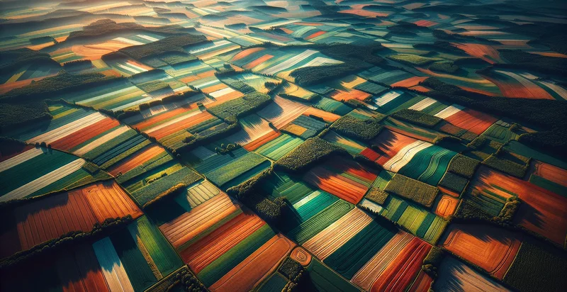
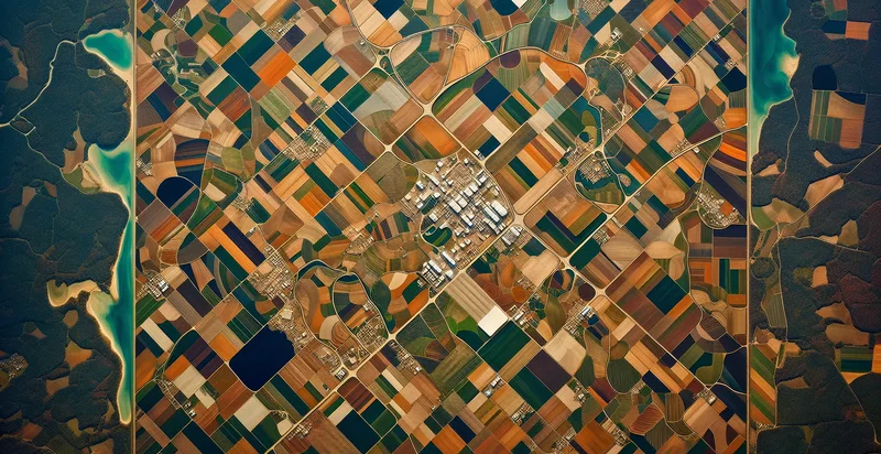
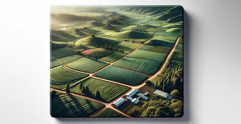
Below is a free classifier to identify aerial views of fields. Just upload your image, and our AI will predict if the fields are cultivated - in just seconds.

Contact us for API access
Or, use Nyckel to build highly-accurate custom classifiers in just minutes. No PhD required.
Get started
    import nyckel

    credentials = nyckel.Credentials("YOUR_CLIENT_ID", "YOUR_CLIENT_SECRET")
    nyckel.invoke("aerial-views-of-fields", "your_image_url", credentials)
    fetch('https://www.nyckel.com/v1/functions/aerial-views-of-fields/invoke', {
        method: 'POST',
        headers: {
            'Authorization': 'Bearer ' + 'YOUR_BEARER_TOKEN',
            'Content-Type': 'application/json',
        },
        body: JSON.stringify(
            {"data": "your_image_url"}
        )
    })
    .then(response => response.json())
    .then(data => console.log(data));
    curl -X POST \
        -H "Content-Type: application/json" \
        -H "Authorization: Bearer YOUR_BEARER_TOKEN" \
        -d '{"data": "your_image_url"}' \
        https://www.nyckel.com/v1/functions/aerial-views-of-fields/invoke
How this classifier works
To start, upload your image. Our AI tool will then predict if the fields are cultivated.
This pretrained image model uses a Nyckel-created dataset and has 2 labels, including Crops and Non Crops.
We'll also show a confidence score (the higher the number, the more confident the AI model is around if the fields are cultivated).
Whether you're just curious or building aerial views of fields detection into your application, we hope our classifier proves helpful.
Related Classifiers
Need to identify aerial views of fields at scale?
Get API or Zapier access to this classifier for free. It's perfect for:
- Crop Health Monitoring: The aerial image classification function can be utilized by agricultural companies to assess crop health by analyzing field images for signs of disease or nutrient deficiencies. By identifying areas requiring attention, farmers can optimize their interventions and improve overall yield.
- Precision Farming: This function can help farmers develop precision farming techniques by classifying different crop areas based on growth stage and health. It enables more efficient resource allocation, such as water, fertilizers, and pesticides, thereby reducing waste and increasing sustainability.
- Land Use Planning: Urban planning authorities can leverage aerial views to classify agricultural land, forests, and urban development. This classification can inform decisions on zoning and land conservation efforts, ensuring sustainable development practices.
- Drought Assessment: Government agencies can monitor agricultural fields for drought conditions through aerial image classification. Identifying stressed areas allows for timely intervention measures and resource allocation during critical growing seasons.
- Yield Prediction: By analyzing classified aerial views throughout the growing season, agronomists can predict crop yields more accurately. This information assists in market planning and resource management for farmers and agricultural businesses.
- Environmental Impact Studies: Researchers can use aerial image classification to study the environmental impacts of agriculture over time, such as soil erosion and biodiversity loss. This information is crucial for developing strategies to mitigate negative effects and promote sustainable farming practices.
- Insurance Assessment: Insurance companies can utilize aerial views to assess damage to fields caused by natural disasters. Aerial classification helps expedite claims processing by providing a clear assessment of the damage and determining appropriate compensation for affected farmers.


