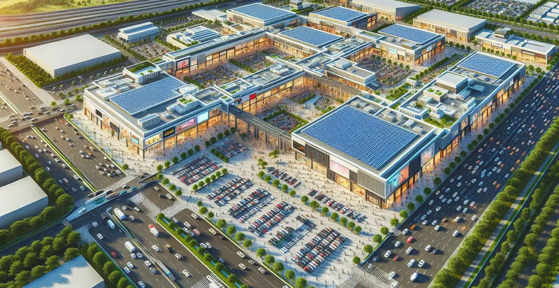
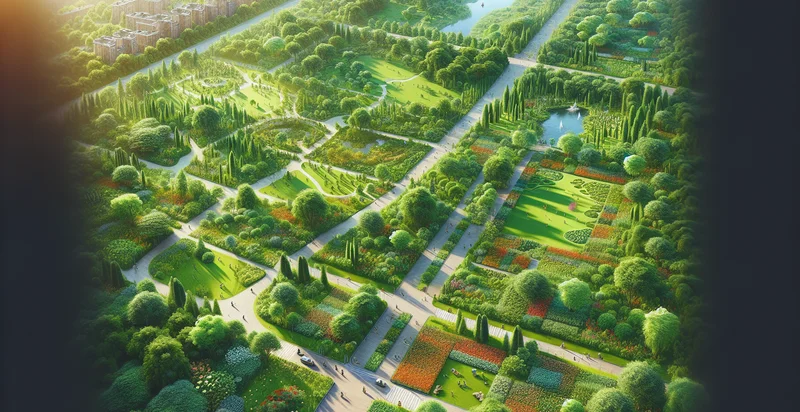
Identify aerial views of fairgrounds
using AI
Below is a free classifier to identify aerial views of fairgrounds. Just upload your image, and our AI will predict if it depicts a fairground or not - in just seconds.

Contact us for API access
Or, use Nyckel to build highly-accurate custom classifiers in just minutes. No PhD required.
Get started
    import nyckel

    credentials = nyckel.Credentials("YOUR_CLIENT_ID", "YOUR_CLIENT_SECRET")
    nyckel.invoke("aerial-views-of-fairgrounds", "your_image_url", credentials)
    fetch('https://www.nyckel.com/v1/functions/aerial-views-of-fairgrounds/invoke', {
        method: 'POST',
        headers: {
            'Authorization': 'Bearer ' + 'YOUR_BEARER_TOKEN',
            'Content-Type': 'application/json',
        },
        body: JSON.stringify(
            {"data": "your_image_url"}
        )
    })
    .then(response => response.json())
    .then(data => console.log(data));
    curl -X POST \
        -H "Content-Type: application/json" \
        -H "Authorization: Bearer YOUR_BEARER_TOKEN" \
        -d '{"data": "your_image_url"}' \
        https://www.nyckel.com/v1/functions/aerial-views-of-fairgrounds/invoke
How this classifier works
To start, upload your image. Our AI tool will then predict if it depicts a fairground or not.
This pretrained image model uses a Nyckel-created dataset and has 2 labels, including Crowded Fairgrounds and Empty Fairgrounds.
We'll also show a confidence score (the higher the number, the more confident the AI model is around if it depicts a fairground or not).
Whether you're just curious or building aerial views of fairgrounds detection into your application, we hope our classifier proves helpful.
Related Classifiers
Need to identify aerial views of fairgrounds at scale?
Get API or Zapier access to this classifier for free. It's perfect for:
- Event Planning Support: The aerial views of fairgrounds can be used by event planners to assess the layout and space availability for upcoming fairs and festivals. By analyzing these images, planners can optimize the arrangement of booths, stages, and access points to enhance visitor flow and experience.
- Crowd Management Strategies: Security and event management teams can utilize the aerial classification of fairgrounds to develop more effective crowd control and safety measures. By identifying potential bottlenecks and high-traffic areas from the aerial perspective, they can create strategies to ensure safe movement of attendees.
- Vendor Placement Optimization: Vendors participating in fairs can leverage aerial imaging for strategic placement based on visibility, foot traffic patterns, and accessibility. This data-driven approach allows vendors to maximize their reach and sales by positioning themselves in optimal locations.
- Infrastructure Planning and Maintenance: Local government and fairground management can analyze aerial views to assess the condition and efficiency of existing infrastructure such as roads, facilities, and utilities. This information is crucial for planning maintenance work and future enhancements to improve the fairground experience.
- Marketing and Promotion: Marketing teams can use classified aerial imagery of fairgrounds to create visually appealing promotional materials that showcase the layout and attractions of the events. High-quality aerial images can also enhance social media campaigns, drawing in larger audiences.
- Environmental Impact Assessments: Environmental organizations and regulators can utilize aerial images of fairgrounds to monitor changes in land use and evaluate the ecological impact of fairs and events. This data is essential for ensuring compliance with environmental regulations and promoting sustainable practices.
- Post-Event Reviews: After events, stakeholders can analyze aerial views to assess what worked well and what areas need improvement for future fairs. This retrospective analysis can include crowd density, vendor performance, and overall venue usability, allowing for data-driven enhancements in planning.


