Identify aerial views of factories
using AI
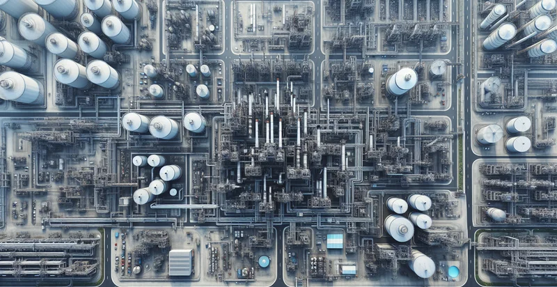
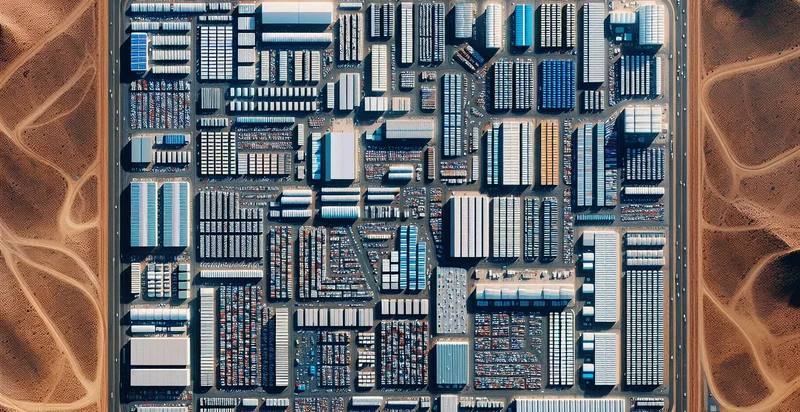
Below is a free classifier to identify aerial views of factories. Just upload your image, and our AI will predict if it contains factories or not - in just seconds.

Contact us for API access
Or, use Nyckel to build highly-accurate custom classifiers in just minutes. No PhD required.
Get started
    import nyckel

    credentials = nyckel.Credentials("YOUR_CLIENT_ID", "YOUR_CLIENT_SECRET")
    nyckel.invoke("aerial-views-of-factories", "your_image_url", credentials)
    fetch('https://www.nyckel.com/v1/functions/aerial-views-of-factories/invoke', {
        method: 'POST',
        headers: {
            'Authorization': 'Bearer ' + 'YOUR_BEARER_TOKEN',
            'Content-Type': 'application/json',
        },
        body: JSON.stringify(
            {"data": "your_image_url"}
        )
    })
    .then(response => response.json())
    .then(data => console.log(data));
    curl -X POST \
        -H "Content-Type: application/json" \
        -H "Authorization: Bearer YOUR_BEARER_TOKEN" \
        -d '{"data": "your_image_url"}' \
        https://www.nyckel.com/v1/functions/aerial-views-of-factories/invoke
How this classifier works
To start, upload your image. Our AI tool will then predict if it contains factories or not.
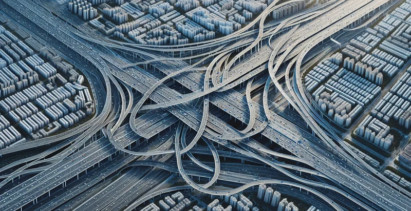
This pretrained image model uses a Nyckel-created dataset and has 2 labels, including Factory Complex and Open Space.
We'll also show a confidence score (the higher the number, the more confident the AI model is around if it contains factories or not).
Whether you're just curious or building aerial views of factories detection into your application, we hope our classifier proves helpful.
Related Classifiers
Need to identify aerial views of factories at scale?
Get API or Zapier access to this classifier for free. It's perfect for:
- Facility Inspection: Aerial image classification can automate the inspection process of factories by identifying structural integrity issues. It can flag potential problems like corrosion, roof damage, or irregularities in the layout, reducing the need for manual inspections.
- Safety Compliance Monitoring: Businesses can use aerial views to monitor compliance with safety regulations and guidelines. The identifier can detect unsafe practices or unapproved modifications to factory layouts, enabling timely interventions.
- Asset Management: Companies can maintain an updated inventory of factory assets more efficiently with aerial image classification. By analyzing images, businesses can track the location and status of machinery, equipment, and storage facilities.
- Operational Efficiency Analysis: Organizations can assess their operational layout by using aerial images to identify areas that may require process optimization. The system can provide insights into workflow patterns, space utilization, and potential bottlenecks.
- Environmental Impact Assessment: Aerial views can help companies evaluate their environmental footprint by identifying factors impacting the surrounding area. This includes monitoring waste storage, runoff, and emissions that may compromise ecological standards.
- Disaster Preparedness and Recovery: By classifying aerial views of factories, businesses can develop better disaster preparedness plans. The images can provide crucial information about evacuation routes and critical infrastructure needed for recovery efforts.
- Remote Surveillance: Integrating aerial image classification can enhance remote surveillance capabilities of factory sites. The system can detect unauthorized access or security breaches, providing real-time alerts for improved security measures.


