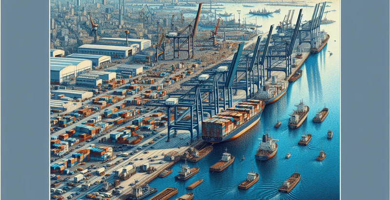
Identify aerial views of docks
using AI
Below is a free classifier to identify aerial views of docks. Just upload your image, and our AI will predict if it contains docks - in just seconds.


Contact us for API access
Or, use Nyckel to build highly-accurate custom classifiers in just minutes. No PhD required.
Get started
    import nyckel

    credentials = nyckel.Credentials("YOUR_CLIENT_ID", "YOUR_CLIENT_SECRET")
    nyckel.invoke("aerial-views-of-docks", "your_image_url", credentials)
    fetch('https://www.nyckel.com/v1/functions/aerial-views-of-docks/invoke', {
        method: 'POST',
        headers: {
            'Authorization': 'Bearer ' + 'YOUR_BEARER_TOKEN',
            'Content-Type': 'application/json',
        },
        body: JSON.stringify(
            {"data": "your_image_url"}
        )
    })
    .then(response => response.json())
    .then(data => console.log(data));
    curl -X POST \
        -H "Content-Type: application/json" \
        -H "Authorization: Bearer YOUR_BEARER_TOKEN" \
        -d '{"data": "your_image_url"}' \
        https://www.nyckel.com/v1/functions/aerial-views-of-docks/invoke
How this classifier works
To start, upload your image. Our AI tool will then predict if it contains docks.
This pretrained image model uses a Nyckel-created dataset and has 2 labels, including Busy Docks and Quiet Docks.
We'll also show a confidence score (the higher the number, the more confident the AI model is around if it contains docks).
Whether you're just curious or building aerial views of docks detection into your application, we hope our classifier proves helpful.
Related Classifiers
Need to identify aerial views of docks at scale?
Get API or Zapier access to this classifier for free. It's perfect for:
- Logistics Optimization: By accurately classifying aerial views of docks, businesses can optimize their logistics operations. This involves identifying the availability of dock space and the positioning of vessels, which can help minimize turnaround times and improve scheduling efficiency.
- Environmental Monitoring: Implementing aerial image classification allows for monitoring the environmental impact of dock operations. The function can identify changes in surrounding ecosystems or pollution levels, facilitating compliance with environmental regulations and promoting sustainability.
- Safety Assessment: The classification of aerial views can be used to enhance safety assessments at docks. Identifying potential hazards or obstructions in real-time can help in preventing accidents and ensuring the safety of dock workers and vessels.
- Infrastructure Management: Aerial image classification serves as a valuable tool for assessing the condition of dock infrastructure. By regularly analyzing these images, port authorities can prioritize maintenance, renovations, or upgrades based on identified wear and tear.
- Traffic Flow Analysis: Businesses can use aerial views to analyze traffic flows in and around docks. Understanding patterns in vessel arrivals, departures, and land traffic can lead to improved traffic management and reduced bottlenecks.
- Market Research: The function can assist in market research by providing insights into dock usage trends over time. Businesses can analyze the types of vessels frequently using specific docks, informing plans for future investment or service offerings.
- Emergency Response Planning: Aerial image classification can be crucial in developing emergency response strategies for docks. Identifying critical infrastructure and high-risk areas enables better preparedness and communication during unforeseen events like natural disasters or accidents.


