Identify aerial views of deserts
using AI
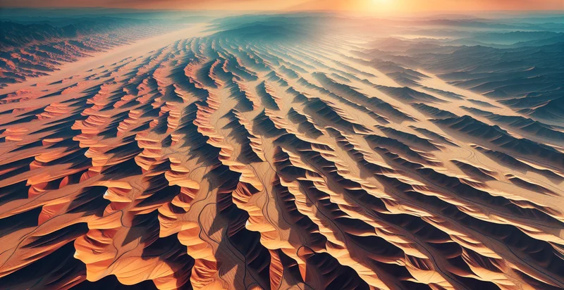
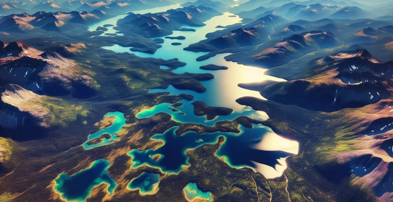
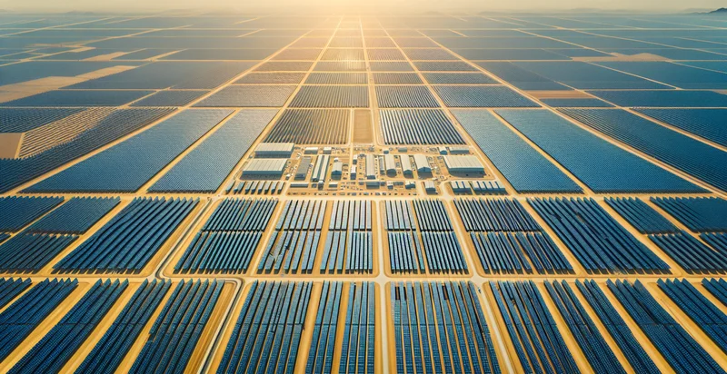
Below is a free classifier to identify aerial views of deserts. Just upload your image, and our AI will predict if the image shows a desert or not - in just seconds.

Contact us for API access
Or, use Nyckel to build highly-accurate custom classifiers in just minutes. No PhD required.
Get started
    import nyckel

    credentials = nyckel.Credentials("YOUR_CLIENT_ID", "YOUR_CLIENT_SECRET")
    nyckel.invoke("aerial-views-of-deserts", "your_image_url", credentials)
    fetch('https://www.nyckel.com/v1/functions/aerial-views-of-deserts/invoke', {
        method: 'POST',
        headers: {
            'Authorization': 'Bearer ' + 'YOUR_BEARER_TOKEN',
            'Content-Type': 'application/json',
        },
        body: JSON.stringify(
            {"data": "your_image_url"}
        )
    })
    .then(response => response.json())
    .then(data => console.log(data));
    curl -X POST \
        -H "Content-Type: application/json" \
        -H "Authorization: Bearer YOUR_BEARER_TOKEN" \
        -d '{"data": "your_image_url"}' \
        https://www.nyckel.com/v1/functions/aerial-views-of-deserts/invoke
How this classifier works
To start, upload your image. Our AI tool will then predict if the image shows a desert or not.
This pretrained image model uses a Nyckel-created dataset and has 2 labels, including Rocky Terrains and Sandy Landscapes.
We'll also show a confidence score (the higher the number, the more confident the AI model is around if the image shows a desert or not).
Whether you're just curious or building aerial views of deserts detection into your application, we hope our classifier proves helpful.
Related Classifiers
Need to identify aerial views of deserts at scale?
Get API or Zapier access to this classifier for free. It's perfect for:
- Environmental Monitoring: The aerial views of deserts can be analyzed to monitor changes in desertification and land degradation over time. This data can assist environmental agencies in assessing the impact of climate change and in developing strategies for land restoration.
- Agricultural Planning: Farmers and agricultural planners can utilize this image classification function to identify areas that are transitioning towards desert landscapes. Understanding these trends can inform decisions on crop selection, irrigation needs, and sustainable farming practices.
- Renewable Energy Site Assessment: Companies in the renewable energy sector can leverage aerial desert images to identify potential sites for solar energy farms. By analyzing the classification results, developers can find optimal locations with minimal ecological disruption.
- Urban Expansion Analysis: Urban planners can use this function to track how urban expansion affects nearby desert regions. By identifying desert areas in aerial images, planners can implement zoning laws and controlled development to minimize environmental impact.
- Tourism Development: Tourism agencies can analyze desert landscapes to promote eco-tourism and adventure travel in arid regions. The identification of unique desert features from aerial views can aid in marketing and developing attractions that highlight the beauty and biodiversity of these areas.
- Wildlife Habitat Protection: Conservationists can utilize this classification function to assess and monitor desert habitats, providing insights into wildlife distribution and needs. By protecting these areas, initiatives can be established to maintain biodiversity and safeguard endangered species.
- Resource Exploration: Companies involved in resource extraction, such as minerals or fossil fuels, can use aerial classification for exploration purposes. Analyzing aerial views helps in identifying geological formations typical in desert areas that may indicate the presence of valuable natural resources.


