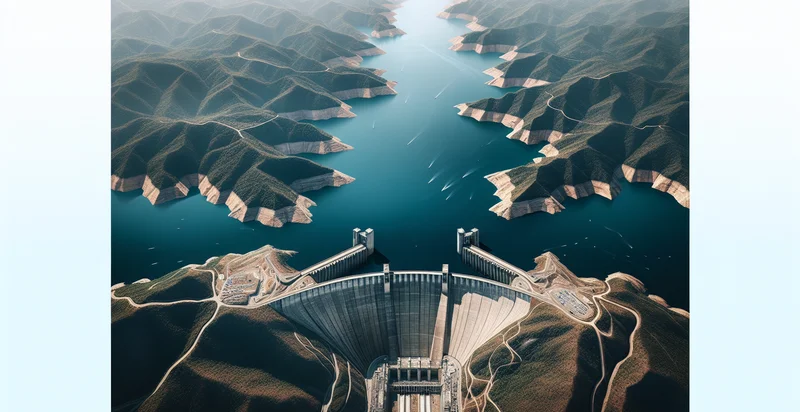
Identify aerial views of dams
using AI
Below is a free classifier to identify aerial views of dams. Just upload your image, and our AI will predict if the image shows a dam or not - in just seconds.

Contact us for API access
Or, use Nyckel to build highly-accurate custom classifiers in just minutes. No PhD required.
Get started
    import nyckel

    credentials = nyckel.Credentials("YOUR_CLIENT_ID", "YOUR_CLIENT_SECRET")
    nyckel.invoke("aerial-views-of-dams", "your_image_url", credentials)
    fetch('https://www.nyckel.com/v1/functions/aerial-views-of-dams/invoke', {
        method: 'POST',
        headers: {
            'Authorization': 'Bearer ' + 'YOUR_BEARER_TOKEN',
            'Content-Type': 'application/json',
        },
        body: JSON.stringify(
            {"data": "your_image_url"}
        )
    })
    .then(response => response.json())
    .then(data => console.log(data));
    curl -X POST \
        -H "Content-Type: application/json" \
        -H "Authorization: Bearer YOUR_BEARER_TOKEN" \
        -d '{"data": "your_image_url"}' \
        https://www.nyckel.com/v1/functions/aerial-views-of-dams/invoke
How this classifier works
To start, upload your image. Our AI tool will then predict if the image shows a dam or not.
This pretrained image model uses a Nyckel-created dataset and has 2 labels, including Landscape and Water Reservoir.
We'll also show a confidence score (the higher the number, the more confident the AI model is around if the image shows a dam or not).
Whether you're just curious or building aerial views of dams detection into your application, we hope our classifier proves helpful.
Related Classifiers
Need to identify aerial views of dams at scale?
Get API or Zapier access to this classifier for free. It's perfect for:
- Environmental Monitoring: Aerial image classification of dams can be utilized to monitor the health of the surrounding ecosystem. By identifying changes in the landscape or habitat degradation near dam sites, organizations can implement timely conservation measures to protect local wildlife.
- Flood Risk Assessment: True image classification can help assess flood risks by analyzing dam structures and their capacity to handle water flow. This information is crucial for emergency planning and response, ensuring that communities downstream are prepared for potential floods.
- Infrastructure Maintenance Planning: Aerial views allow for the identification of structural wear and damage on dams over time. Maintenance teams can prioritize inspections and repairs based on the classification results, optimizing resource allocation and enhancing safety.
- Regulatory Compliance Monitoring: Organizations can use classified images to ensure that dams meet regulatory requirements for construction and environmental impact. Continuous monitoring through aerial views helps maintain compliance with government standards and can prevent costly penalties.
- Project Feasibility Studies: Aerial image classification can support feasibility studies for new dam projects by analyzing existing infrastructure and environmental conditions. By understanding the potential impact on the landscape, stakeholders can make informed decisions about proposed developments.
- Public Awareness Campaigns: Classified aerial images can be used in educational campaigns to raise public awareness about the importance of dam management and water conservation. By illustrating the role of dams in local ecology and economy, these images can foster community support for sustainable practices.
- Climate Change Impact Studies: Monitoring changes in dam locations through aerial image classification can provide insights into the effects of climate change on water resources. Researchers can analyze how shifting weather patterns impact reservoir levels and dam operations, aiding in future planning and adaptations.


