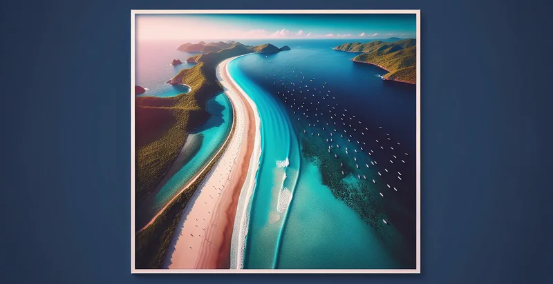
Identify aerial views of coastlines
using AI
Below is a free classifier to identify aerial views of coastlines. Just upload your image, and our AI will predict if the image shows a coastal area or not - in just seconds.

Contact us for API access
Or, use Nyckel to build highly-accurate custom classifiers in just minutes. No PhD required.
Get started
    import nyckel

    credentials = nyckel.Credentials("YOUR_CLIENT_ID", "YOUR_CLIENT_SECRET")
    nyckel.invoke("aerial-views-of-coastlines", "your_image_url", credentials)
    fetch('https://www.nyckel.com/v1/functions/aerial-views-of-coastlines/invoke', {
        method: 'POST',
        headers: {
            'Authorization': 'Bearer ' + 'YOUR_BEARER_TOKEN',
            'Content-Type': 'application/json',
        },
        body: JSON.stringify(
            {"data": "your_image_url"}
        )
    })
    .then(response => response.json())
    .then(data => console.log(data));
    curl -X POST \
        -H "Content-Type: application/json" \
        -H "Authorization: Bearer YOUR_BEARER_TOKEN" \
        -d '{"data": "your_image_url"}' \
        https://www.nyckel.com/v1/functions/aerial-views-of-coastlines/invoke
How this classifier works
To start, upload your image. Our AI tool will then predict if the image shows a coastal area or not.
This pretrained image model uses a Nyckel-created dataset and has 2 labels, including Land and Ocean.
We'll also show a confidence score (the higher the number, the more confident the AI model is around if the image shows a coastal area or not).
Whether you're just curious or building aerial views of coastlines detection into your application, we hope our classifier proves helpful.
Related Classifiers
Need to identify aerial views of coastlines at scale?
Get API or Zapier access to this classifier for free. It's perfect for:
- Environmental Monitoring: The aerial views of coastlines can be used to monitor coastal erosion and habitat loss over time. By analyzing these images, environmental scientists can identify changes in landforms and make informed decisions on conservation efforts.
- Urban Planning: City planners can utilize coastline imagery to assess land use and zoning requirements near coastal regions. This information helps to design sustainable urban developments while considering the environmental impact on coastal ecosystems.
- Marine Resource Management: Fisheries and marine resource managers can leverage aerial imagery to study the distribution of marine habitats along coastlines. Understanding these patterns assists in sustainable fishing practices and habitat protection.
- Disaster Response: During natural disasters, aerial views can be essential for assessing damage along coastlines. Emergency response teams can use this information to prioritize areas for intervention and support recovery efforts.
- Tourism and Recreation Development: Tourism boards can analyze aerial coastline imagery to identify prime locations for recreational development. This helps in promoting areas with stunning views and natural beauty, boosting local economies through tourism.
- Climate Change Research: Researchers studying the effects of climate change can use these images to track changes in coastlines, such as rising sea levels and habitat shifts. This data can contribute to predictive models and climate adaptation strategies.
- Real Estate Development: Real estate developers can assess coastline properties through aerial imagery to identify prime locations for new projects. This aids in better decision-making regarding investments and helps in understanding the potential risk factors posed by coastal dynamics.


