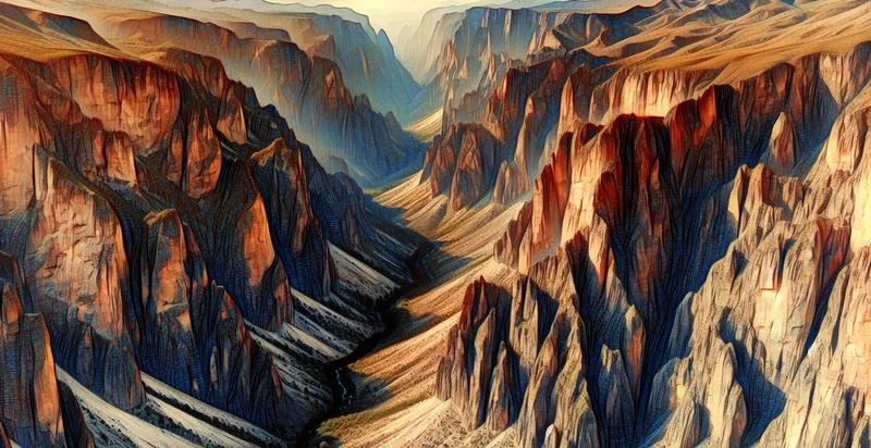
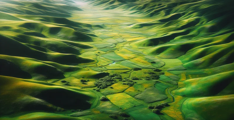
Identify aerial views of cliffs
using AI
Below is a free classifier to identify aerial views of cliffs. Just upload your image, and our AI will predict if the image shows aerial views of cliffs or not - in just seconds.


Contact us for API access
Or, use Nyckel to build highly-accurate custom classifiers in just minutes. No PhD required.
Get started
    import nyckel

    credentials = nyckel.Credentials("YOUR_CLIENT_ID", "YOUR_CLIENT_SECRET")
    nyckel.invoke("aerial-views-of-cliffs", "your_image_url", credentials)
    fetch('https://www.nyckel.com/v1/functions/aerial-views-of-cliffs/invoke', {
        method: 'POST',
        headers: {
            'Authorization': 'Bearer ' + 'YOUR_BEARER_TOKEN',
            'Content-Type': 'application/json',
        },
        body: JSON.stringify(
            {"data": "your_image_url"}
        )
    })
    .then(response => response.json())
    .then(data => console.log(data));
    curl -X POST \
        -H "Content-Type: application/json" \
        -H "Authorization: Bearer YOUR_BEARER_TOKEN" \
        -d '{"data": "your_image_url"}' \
        https://www.nyckel.com/v1/functions/aerial-views-of-cliffs/invoke
How this classifier works
To start, upload your image. Our AI tool will then predict if the image shows aerial views of cliffs or not.
This pretrained image model uses a Nyckel-created dataset and has 2 labels, including Cliff Scenery and Non Cliff Scenery.
We'll also show a confidence score (the higher the number, the more confident the AI model is around if the image shows aerial views of cliffs or not).
Whether you're just curious or building aerial views of cliffs detection into your application, we hope our classifier proves helpful.
Related Classifiers
Need to identify aerial views of cliffs at scale?
Get API or Zapier access to this classifier for free. It's perfect for:
- Coastal Erosion Monitoring: Identify and monitor areas of cliff erosion using aerial imagery. This classification can aid environmental agencies in assessing the rate of coastal change and implementing conservation strategies.
- Construction Site Assessment: Utilize aerial views of cliffs for assessing land suitability for development projects. This function can help engineers determine potential risks related to instability and geologic challenges in the surrounding areas.
- Tourism Planning: Enable tourism boards to identify scenic cliffs for promotional materials and guided tours. By highlighting these natural landmarks, businesses can enhance travel experiences and boost local economies through increased visitor interest.
- Wildlife Habitat Analysis: Classify cliff areas relevant to specific wildlife habitats and species. This information can support conservation efforts and help organizations implement strategies to protect endangered species that rely on cliff environments.
- Search and Rescue Operations: Use aerial cliff identification to assist in search and rescue operations in rugged landscapes. First responders can pinpoint high-risk areas and deploy resources effectively during emergencies, increasing the chances of successful missions.
- Geological Research: Support geological studies by identifying and categorizing cliff formations. Researchers can obtain critical information on erosion patterns, rock types, and formation history, leading to a deeper understanding of earth sciences.
- Adventure Sports Management: Provide identification of cliffs suitable for recreational activities such as rock climbing and paragliding. This classification can help adventure sports companies map safe, high-interest locations, ensuring both enjoyment and safety for their clients.


