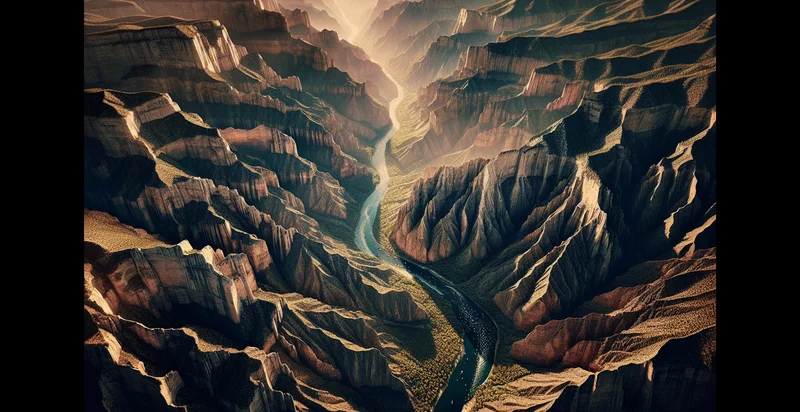
Identify aerial views of canyons
using AI
Below is a free classifier to identify aerial views of canyons. Just upload your image, and our AI will predict if the aerial view depicts a canyon or not - in just seconds.

Contact us for API access
Or, use Nyckel to build highly-accurate custom classifiers in just minutes. No PhD required.
Get started
    import nyckel

    credentials = nyckel.Credentials("YOUR_CLIENT_ID", "YOUR_CLIENT_SECRET")
    nyckel.invoke("aerial-views-of-canyons", "your_image_url", credentials)
    fetch('https://www.nyckel.com/v1/functions/aerial-views-of-canyons/invoke', {
        method: 'POST',
        headers: {
            'Authorization': 'Bearer ' + 'YOUR_BEARER_TOKEN',
            'Content-Type': 'application/json',
        },
        body: JSON.stringify(
            {"data": "your_image_url"}
        )
    })
    .then(response => response.json())
    .then(data => console.log(data));
    curl -X POST \
        -H "Content-Type: application/json" \
        -H "Authorization: Bearer YOUR_BEARER_TOKEN" \
        -d '{"data": "your_image_url"}' \
        https://www.nyckel.com/v1/functions/aerial-views-of-canyons/invoke
How this classifier works
To start, upload your image. Our AI tool will then predict if the aerial view depicts a canyon or not.
This pretrained image model uses a Nyckel-created dataset and has 2 labels, including Canyon Views and Non Canyon Views.
We'll also show a confidence score (the higher the number, the more confident the AI model is around if the aerial view depicts a canyon or not).
Whether you're just curious or building aerial views of canyons detection into your application, we hope our classifier proves helpful.
Related Classifiers
Need to identify aerial views of canyons at scale?
Get API or Zapier access to this classifier for free. It's perfect for:
- Environmental Monitoring: This function can be used to identify and track changes in canyon ecosystems over time. Researchers can analyze aerial images to detect signs of erosion, vegetation health, or habitat loss, enabling better management of natural resources.
- Tourism Development: Businesses in the tourism sector can use aerial image classification to identify the most picturesque canyons for promotional materials or to plan new attractions. Accurate identification helps in creating targeted marketing strategies that showcase the natural beauty of these areas.
- Geology Studies: Geologists can leverage this classification to locate and study various geological formations found in canyons. By analyzing aerial images, they can gain insights into land formations, sediment layers, and geological history, facilitating research and educational purposes.
- Conservation Efforts: Nonprofits and environmental organizations can utilize this function to pinpoint key canyon areas that require protection. By identifying specific regions with significant biodiversity or unique geological formations, they can allocate resources and efforts more effectively for conservation.
- Land Use Planning: Urban planners and developers can benefit from canyon classification to evaluate the potential impact of proposed projects on surrounding landscapes. Understanding the characteristics of canyon areas helps ensure sustainable development and minimizes environmental disruption.
- Recreational Management: Parks and recreation services can use aerial classification to manage hiking trails and outdoor activities in canyon areas. By identifying popular locations, they can improve infrastructure, ensure safety, and promote responsible use of natural spaces.
- Educational Resources: Educational institutions can implement this technology to enhance geographical and environmental studies. By providing students with real-world data on canyons, educators can enrich learning experiences and foster an appreciation for geology and ecology.


