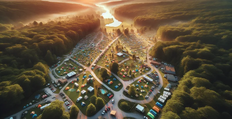
Identify aerial views of campgrounds
using AI
Below is a free classifier to identify aerial views of campgrounds. Just upload your image, and our AI will predict if the campground is occupied - in just seconds.

Contact us for API access
Or, use Nyckel to build highly-accurate custom classifiers in just minutes. No PhD required.
Get started
    import nyckel

    credentials = nyckel.Credentials("YOUR_CLIENT_ID", "YOUR_CLIENT_SECRET")
    nyckel.invoke("aerial-views-of-campgrounds", "your_image_url", credentials)
    fetch('https://www.nyckel.com/v1/functions/aerial-views-of-campgrounds/invoke', {
        method: 'POST',
        headers: {
            'Authorization': 'Bearer ' + 'YOUR_BEARER_TOKEN',
            'Content-Type': 'application/json',
        },
        body: JSON.stringify(
            {"data": "your_image_url"}
        )
    })
    .then(response => response.json())
    .then(data => console.log(data));
    curl -X POST \
        -H "Content-Type: application/json" \
        -H "Authorization: Bearer YOUR_BEARER_TOKEN" \
        -d '{"data": "your_image_url"}' \
        https://www.nyckel.com/v1/functions/aerial-views-of-campgrounds/invoke
How this classifier works
To start, upload your image. Our AI tool will then predict if the campground is occupied.
This pretrained image model uses a Nyckel-created dataset and has 2 labels, including Beach Campground and Forest Campground.
We'll also show a confidence score (the higher the number, the more confident the AI model is around if the campground is occupied).
Whether you're just curious or building aerial views of campgrounds detection into your application, we hope our classifier proves helpful.
Related Classifiers
Need to identify aerial views of campgrounds at scale?
Get API or Zapier access to this classifier for free. It's perfect for:
- Campground Popularity Analysis: By analyzing aerial images, this classification function can help identify and rank campgrounds based on visitor popularity. Local tourism boards and recreational businesses can use this data to better target marketing campaigns or improve amenities.
- Site Availability Planning: Campground operators can use the image classification to monitor site availability and occupancy rates from aerial views. This data can help streamline bookings and optimize site management by providing real-time insights into usage patterns.
- Environmental Impact Assessment: Conservationists and regulators can utilize the classification function to assess environmental impacts on campgrounds from aerial imagery. By identifying how changes in land use or environmental conditions affect these areas, strategies for conservation can be developed.
- Marketing Targeting: Outdoor gear companies can leverage classified aerial images to identify popular camping locations and tailor their advertising efforts to specific demographics. This information can help companies create effective, location-based marketing strategies.
- Urban Planning and Recreation Development: City planners can use aerial image classification to evaluate existing campground facilities and explore potential sites for new ones. This analysis can contribute to enhancing recreational spaces in urban areas and balancing development with environmental preservation.
- Insurance Risk Assessment: Insurance companies can employ aerial classification to analyze campsite locations against natural disaster risk zones. Accurate identification of campgrounds can facilitate better risk assessment and the development of tailored insurance policies.
- Safety and Emergency Response: Emergency services can utilize this function to map out campgrounds for better preparation and response strategies during emergencies such as wildfires or floods. Identifying these areas from aerial views aids in creating evacuation plans and resource allocation.


