Identify aerial photo landscapes
using AI
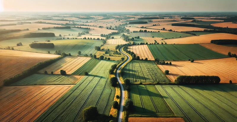
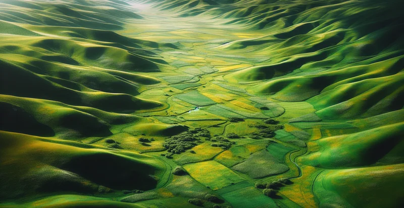
Below is a free classifier to identify aerial photo landscapes. Just upload your image, and our AI will predict what landscape type it is - in just seconds.

Contact us for API access
Or, use Nyckel to build highly-accurate custom classifiers in just minutes. No PhD required.
Get started
    import nyckel

    credentials = nyckel.Credentials("YOUR_CLIENT_ID", "YOUR_CLIENT_SECRET")
    nyckel.invoke("aerial-photo-landscapes-identifier", "your_image_url", credentials)
    fetch('https://www.nyckel.com/v1/functions/aerial-photo-landscapes-identifier/invoke', {
        method: 'POST',
        headers: {
            'Authorization': 'Bearer ' + 'YOUR_BEARER_TOKEN',
            'Content-Type': 'application/json',
        },
        body: JSON.stringify(
            {"data": "your_image_url"}
        )
    })
    .then(response => response.json())
    .then(data => console.log(data));
    curl -X POST \
        -H "Content-Type: application/json" \
        -H "Authorization: Bearer YOUR_BEARER_TOKEN" \
        -d '{"data": "your_image_url"}' \
        https://www.nyckel.com/v1/functions/aerial-photo-landscapes-identifier/invoke
How this classifier works
To start, upload your image. Our AI tool will then predict what landscape type it is.
This pretrained image model uses the Aerial Landscape Dataset dataset and has 21 labels, including Forest, Beach, and 19 more.
We'll also show a confidence score (the higher the number, the more confident the AI model is around what landscape type it is).
Whether you're just curious or building aerial photo landscapes detection into your application, we hope our classifier proves helpful.
Related Classifiers
Need to identify aerial photo landscapes at scale?
Get API or Zapier access to this classifier for free. It's perfect for:
- Urban Planning: Analyze land use patterns for efficient city development. Identify areas suitable for green spaces or new infrastructure projects.
- Environmental Conservation: Map different ecosystems to monitor biodiversity and habitat changes. Identify areas at risk of deforestation or environmental degradation.
- Agriculture: Assess crop health and field conditions across large areas. Optimize irrigation and resource allocation based on landscape features.
- Real Estate Development: Identify prime locations for new residential or commercial projects. Evaluate potential environmental impacts of proposed developments.
- Disaster Management: Assess damage to landscapes after natural disasters. Plan recovery efforts based on identified changes in terrain.
- Forestry: Monitor forest cover and identify areas for reforestation efforts. Track the spread of diseases or pests affecting woodland areas.
- Tourism: Develop promotional materials showcasing diverse landscape features. Plan new hiking trails or scenic routes based on terrain analysis.


